Church Street Whatton
Introduction
The photograph on this page of Church Street Whatton by Alan Murray-Rust as part of the Geograph project.
The Geograph project started in 2005 with the aim of publishing, organising and preserving representative images for every square kilometre of Great Britain, Ireland and the Isle of Man.

There are currently over 7.5m images from over 14,400 individuals and you can help contribute to the project by visiting https://www.geograph.org.uk
Church Street Whatton
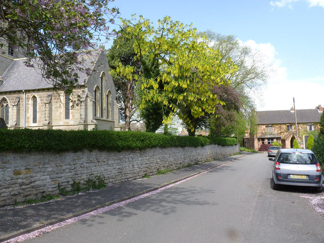
Image: © Alan Murray-Rust Taken: 27 Apr 2014
With the church on the left. There is a bench mark http://www.geograph.org.uk/photo/3954946 on the far buttress of the chancel end wall.
Images are licensed for reuse under creativecommons.org/licenses/by-sa/2.0
Image Location
Latitude
52.949066
Longitude
-0.892207