Plumford Lane
Introduction
The photograph on this page of Plumford Lane by Penny Mayes as part of the Geograph project.
The Geograph project started in 2005 with the aim of publishing, organising and preserving representative images for every square kilometre of Great Britain, Ireland and the Isle of Man.

There are currently over 7.5m images from over 14,400 individuals and you can help contribute to the project by visiting https://www.geograph.org.uk
Plumford Lane
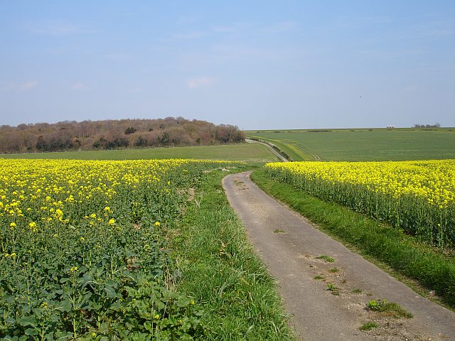
Image: © Penny Mayes Taken: 9 Apr 2007
This narrow lane runs from Wilgate Green to Old Badgins Road between fields of just flowering rape. It crosses a shallow valley before following the eastern edge of Badgin Wood.
Images are licensed for reuse under creativecommons.org/licenses/by-sa/2.0
Image Location
Latitude
51.282746
Longitude
0.871512