Field adjacent to Power Station Road, Stourport-on-Severn
Introduction
The photograph on this page of Field adjacent to Power Station Road, Stourport-on-Severn by P L Chadwick as part of the Geograph project.
The Geograph project started in 2005 with the aim of publishing, organising and preserving representative images for every square kilometre of Great Britain, Ireland and the Isle of Man.

There are currently over 7.5m images from over 14,400 individuals and you can help contribute to the project by visiting https://www.geograph.org.uk
Field adjacent to Power Station Road, Stourport-on-Severn
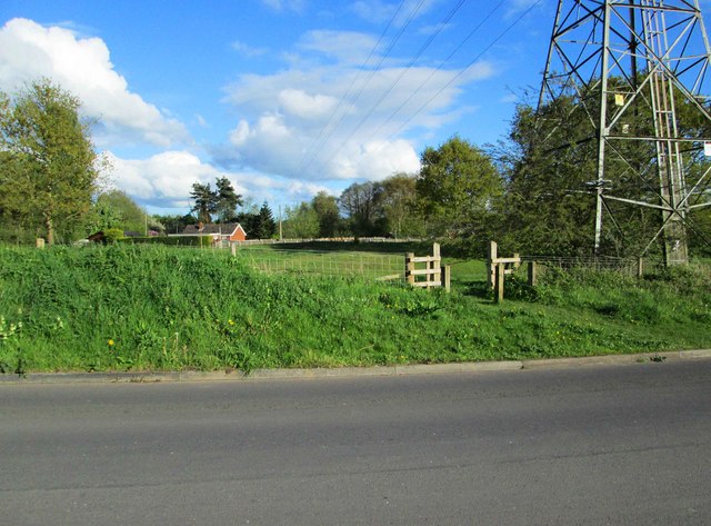
Image: © P L Chadwick Taken: 26 Apr 2014
There is an electricity pylon in one corner of this field, part of which can be seen here. Image
Images are licensed for reuse under creativecommons.org/licenses/by-sa/2.0
Image Location
Latitude
52.333354
Longitude
-2.271743