View north below Brook Down
Introduction
The photograph on this page of View north below Brook Down by Christopher Hilton as part of the Geograph project.
The Geograph project started in 2005 with the aim of publishing, organising and preserving representative images for every square kilometre of Great Britain, Ireland and the Isle of Man.

There are currently over 7.5m images from over 14,400 individuals and you can help contribute to the project by visiting https://www.geograph.org.uk
View north below Brook Down
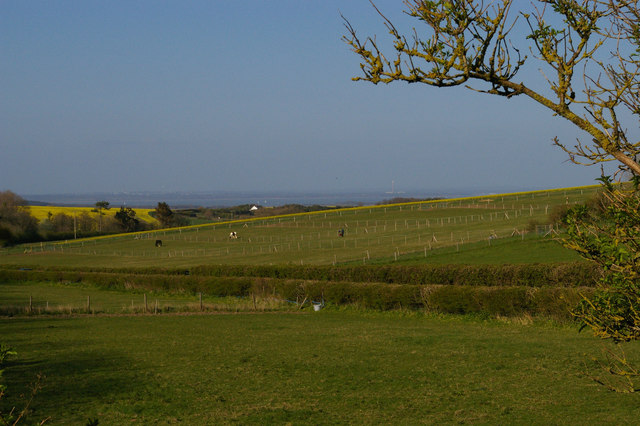
Image: © Christopher Hilton Taken: 13 Apr 2014
Just east of Brook Down the road on the far side of the field traverses a low pass in the chalk spine of the Island, giving views north across the Solent. Here in the distance can be made out the power station at Fawley, at the mouth of Southampton Water.
Images are licensed for reuse under creativecommons.org/licenses/by-sa/2.0
Image Location
Latitude
50.664596
Longitude
-1.442192