Sitwell Court, Sitwell Street
Introduction
The photograph on this page of Sitwell Court, Sitwell Street by Christopher Hall as part of the Geograph project.
The Geograph project started in 2005 with the aim of publishing, organising and preserving representative images for every square kilometre of Great Britain, Ireland and the Isle of Man.

There are currently over 7.5m images from over 14,400 individuals and you can help contribute to the project by visiting https://www.geograph.org.uk
Sitwell Court, Sitwell Street
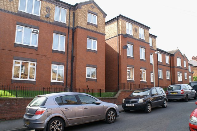
Image: © Christopher Hall Taken: 28 Apr 2014
Sitwell Court is a development of sheltered flats on the site of the girls and infants part of the former Falsgrave Board School; the former boys part on the opposite side of the street is still extant as a building and is shown in Image
Images are licensed for reuse under creativecommons.org/licenses/by-sa/2.0
Image Location
Latitude
54.277137
Longitude
-0.415789