Former Falsgrave Board School, Sitwell Street
Introduction
The photograph on this page of Former Falsgrave Board School, Sitwell Street by Christopher Hall as part of the Geograph project.
The Geograph project started in 2005 with the aim of publishing, organising and preserving representative images for every square kilometre of Great Britain, Ireland and the Isle of Man.

There are currently over 7.5m images from over 14,400 individuals and you can help contribute to the project by visiting https://www.geograph.org.uk
Former Falsgrave Board School, Sitwell Street
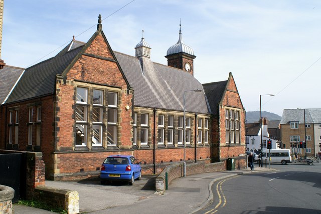
Image: © Christopher Hall Taken: 28 Apr 2014
This is the Sitwell Street elevation of the former Falsgrave Board School built in 1872 to designs by Wakefield Architect William Watson. This was the boys part of the school; girls and infants were in a separate building. The traffic lights mark the junction of Falsgrave Road and Seamer Road and the white building in the background is the Tap & Spile PH. The former school is now a retail bed warehouse
Images are licensed for reuse under creativecommons.org/licenses/by-sa/2.0
Image Location
Latitude
54.276859
Longitude
-0.415185