Grass-roots level photography
Introduction
The photograph on this page of Grass-roots level photography by Stanley Howe as part of the Geograph project.
The Geograph project started in 2005 with the aim of publishing, organising and preserving representative images for every square kilometre of Great Britain, Ireland and the Isle of Man.

There are currently over 7.5m images from over 14,400 individuals and you can help contribute to the project by visiting https://www.geograph.org.uk
Grass-roots level photography
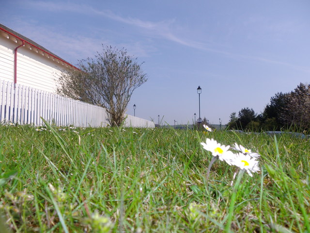
Image: © Stanley Howe Taken: 28 Apr 2014
This gowan-strewn lawn at chest-level lies between Stonehaven's station carpark and the higher elevated railtrack between Edinburgh and Aberdeen that passes through. If at my age I had had to get down to this eye-level, you assuredly would not be seeing these daisies here.
Images are licensed for reuse under creativecommons.org/licenses/by-sa/2.0
Image Location
Latitude
56.966553
Longitude
-2.224802