Pasture Lane, Clayton
Introduction
The photograph on this page of Pasture Lane, Clayton by David Spencer as part of the Geograph project.
The Geograph project started in 2005 with the aim of publishing, organising and preserving representative images for every square kilometre of Great Britain, Ireland and the Isle of Man.

There are currently over 7.5m images from over 14,400 individuals and you can help contribute to the project by visiting https://www.geograph.org.uk
Pasture Lane, Clayton
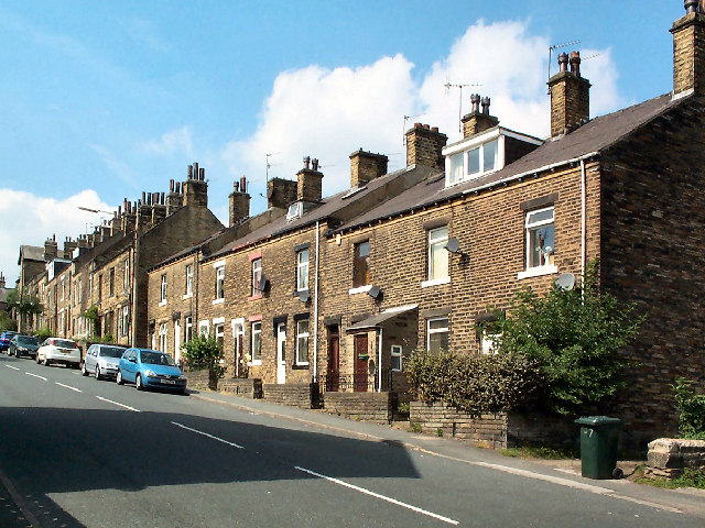
Image: © David Spencer Taken: 18 Aug 2005
Seen from the corner of Aberdeen Terrace, looking up towards Station Road. Note the effect of modern changes, like dormers and porches and replacement windows.
Images are licensed for reuse under creativecommons.org/licenses/by-sa/2.0
Image Location


Leaflet Map data © OpenStreetMap
Latitude
53.781683
Longitude
-1.809384