Forth and Clyde Canal Cycle Route
Introduction
The photograph on this page of Forth and Clyde Canal Cycle Route by M J Richardson as part of the Geograph project.
The Geograph project started in 2005 with the aim of publishing, organising and preserving representative images for every square kilometre of Great Britain, Ireland and the Isle of Man.

There are currently over 7.5m images from over 14,400 individuals and you can help contribute to the project by visiting https://www.geograph.org.uk
Forth and Clyde Canal Cycle Route
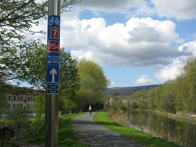
Image: © M J Richardson Taken: 24 Apr 2014
NCN7 and 754 crossing the Boquhanran Road tunnel, looking west, at Clydebank.
Images are licensed for reuse under creativecommons.org/licenses/by-sa/2.0
Image Location
Latitude
55.907244
Longitude
-4.418068