Offa's Dyke Path and Bank
Introduction
The photograph on this page of Offa's Dyke Path and Bank by John S Turner as part of the Geograph project.
The Geograph project started in 2005 with the aim of publishing, organising and preserving representative images for every square kilometre of Great Britain, Ireland and the Isle of Man.

There are currently over 7.5m images from over 14,400 individuals and you can help contribute to the project by visiting https://www.geograph.org.uk
Offa's Dyke Path and Bank
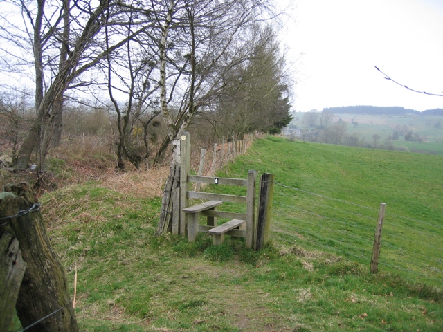
Image: © John S Turner Taken: 9 Apr 2007
At this point the Offa's Dyke LDP runs along the top of the Dyke itself. The ditch to the left of the bank is part of the earthwork.
Images are licensed for reuse under creativecommons.org/licenses/by-sa/2.0
Image Location
Latitude
52.890754
Longitude
-3.113506