Surfaced Path, Coldean Belt
Introduction
The photograph on this page of Surfaced Path, Coldean Belt by Simon Carey as part of the Geograph project.
The Geograph project started in 2005 with the aim of publishing, organising and preserving representative images for every square kilometre of Great Britain, Ireland and the Isle of Man.

There are currently over 7.5m images from over 14,400 individuals and you can help contribute to the project by visiting https://www.geograph.org.uk
Surfaced Path, Coldean Belt
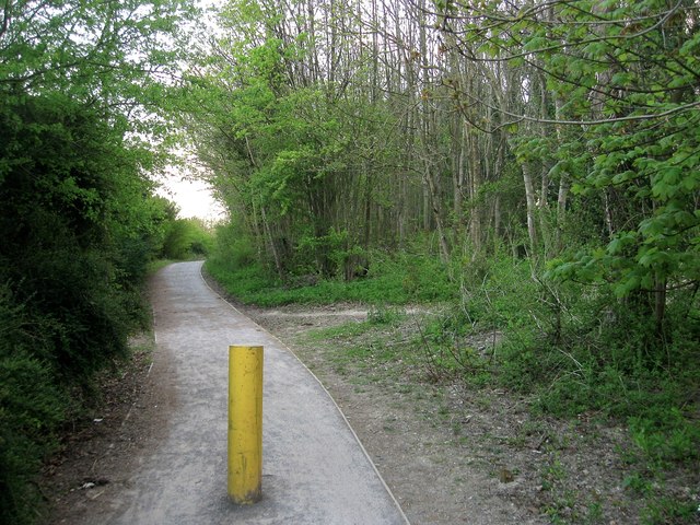
Image: © Simon Carey Taken: 19 Apr 2014
Laid in 2011 enabling access through the woods for cyclists and walkers to Stanmer Park, the universities and the football stadium though since the curtailing of parking in 2013 for outsiders that is mainly used only by supporters living in Coldean.
Images are licensed for reuse under creativecommons.org/licenses/by-sa/2.0
Image Location
Latitude
50.859054
Longitude
-0.097458