Hillis Farm
Introduction
The photograph on this page of Hillis Farm by Stephen McKay as part of the Geograph project.
The Geograph project started in 2005 with the aim of publishing, organising and preserving representative images for every square kilometre of Great Britain, Ireland and the Isle of Man.

There are currently over 7.5m images from over 14,400 individuals and you can help contribute to the project by visiting https://www.geograph.org.uk
Hillis Farm
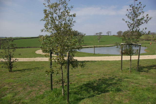
Image: © Stephen McKay Taken: 7 Apr 2007
This pond, part of the Hillis Farm site, has clearly been laid out with a purpose in mind - there was, however, nothing at the location to indicate what this might be.
Images are licensed for reuse under creativecommons.org/licenses/by-sa/2.0
Image Location
Latitude
50.736621
Longitude
-1.337607