Pond near Strathleven House
Introduction
The photograph on this page of Pond near Strathleven House by Lairich Rig as part of the Geograph project.
The Geograph project started in 2005 with the aim of publishing, organising and preserving representative images for every square kilometre of Great Britain, Ireland and the Isle of Man.

There are currently over 7.5m images from over 14,400 individuals and you can help contribute to the project by visiting https://www.geograph.org.uk
Pond near Strathleven House
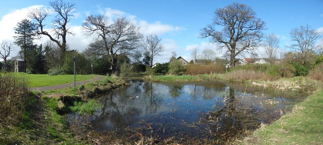
Image: © Lairich Rig Taken: 12 Apr 2014
The houses in the background, centre to right, are in Strathleven Estate. The structure in the left background is an old doocot that stands near Image; it is shown separately in Image For earlier pictures, see Image and Image
Images are licensed for reuse under creativecommons.org/licenses/by-sa/2.0
Image Location
Latitude
55.969711
Longitude
-4.568929