Gnoll Gates War Memorial, Neath
Introduction
The photograph on this page of Gnoll Gates War Memorial, Neath by Jaggery as part of the Geograph project.
The Geograph project started in 2005 with the aim of publishing, organising and preserving representative images for every square kilometre of Great Britain, Ireland and the Isle of Man.

There are currently over 7.5m images from over 14,400 individuals and you can help contribute to the project by visiting https://www.geograph.org.uk
Gnoll Gates War Memorial, Neath
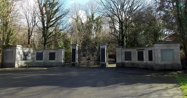
Image: © Jaggery Taken: 16 Feb 2014
At the edge of Gnoll Estate Country Park, near Gnoll Drive and Woodside Avenue.
Images are licensed for reuse under creativecommons.org/licenses/by-sa/2.0
Image Location
Latitude
51.65885
Longitude
-3.795657