Railway path through Mowbray Park, Sunderland
Introduction
The photograph on this page of Railway path through Mowbray Park, Sunderland by Malc McDonald as part of the Geograph project.
The Geograph project started in 2005 with the aim of publishing, organising and preserving representative images for every square kilometre of Great Britain, Ireland and the Isle of Man.

There are currently over 7.5m images from over 14,400 individuals and you can help contribute to the project by visiting https://www.geograph.org.uk
Railway path through Mowbray Park, Sunderland
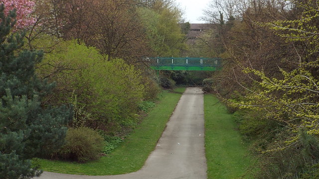
Image: © Malc McDonald Taken: 21 Apr 2014
This path through the middle of Mowbray Park occupies the route of a former railway, which ran to Sunderland docks.
Images are licensed for reuse under creativecommons.org/licenses/by-sa/2.0
Image Location
Latitude
54.902088
Longitude
-1.379313