Path around Cordale Point
Introduction
The photograph on this page of Path around Cordale Point by Lairich Rig as part of the Geograph project.
The Geograph project started in 2005 with the aim of publishing, organising and preserving representative images for every square kilometre of Great Britain, Ireland and the Isle of Man.

There are currently over 7.5m images from over 14,400 individuals and you can help contribute to the project by visiting https://www.geograph.org.uk
Path around Cordale Point
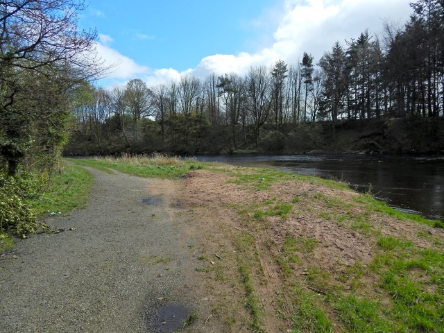
Image: © Lairich Rig Taken: 8 Apr 2014
This is the approach to the far end of the point. The picture was taken close to the part of the River Leven that anglers know as Sandy Hole, and not far from another part known as the Pikey. There is a path above the steep bank on the other side of the Leven: Image
Images are licensed for reuse under creativecommons.org/licenses/by-sa/2.0
Image Location
Latitude
55.971934
Longitude
-4.574365