OS Flush Bracket S8254 - Eccleshall
Introduction
The photograph on this page of OS Flush Bracket S8254 - Eccleshall by Richard Law as part of the Geograph project.
The Geograph project started in 2005 with the aim of publishing, organising and preserving representative images for every square kilometre of Great Britain, Ireland and the Isle of Man.

There are currently over 7.5m images from over 14,400 individuals and you can help contribute to the project by visiting https://www.geograph.org.uk
OS Flush Bracket S8254 - Eccleshall
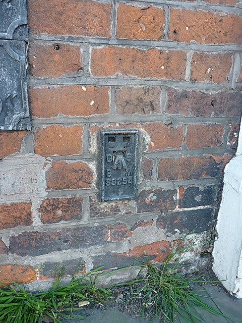
Image: © Richard Law Taken: 14 Apr 2014
OS Flush Bracket attached to the side of a bookmaker's premises near the centre of Eccleshall; originally levelled during the 3rd Geodetic Levelling of England & Wales in 1957 at 88.391m above Ordnance Datum Newlyn.
Images are licensed for reuse under creativecommons.org/licenses/by-sa/2.0
Image Location
Latitude
52.859617
Longitude
-2.251466