OS Flush Bracket G1055, Roybridge
Introduction
The photograph on this page of OS Flush Bracket G1055, Roybridge by Richard Law as part of the Geograph project.
The Geograph project started in 2005 with the aim of publishing, organising and preserving representative images for every square kilometre of Great Britain, Ireland and the Isle of Man.

There are currently over 7.5m images from over 14,400 individuals and you can help contribute to the project by visiting https://www.geograph.org.uk
OS Flush Bracket G1055, Roybridge
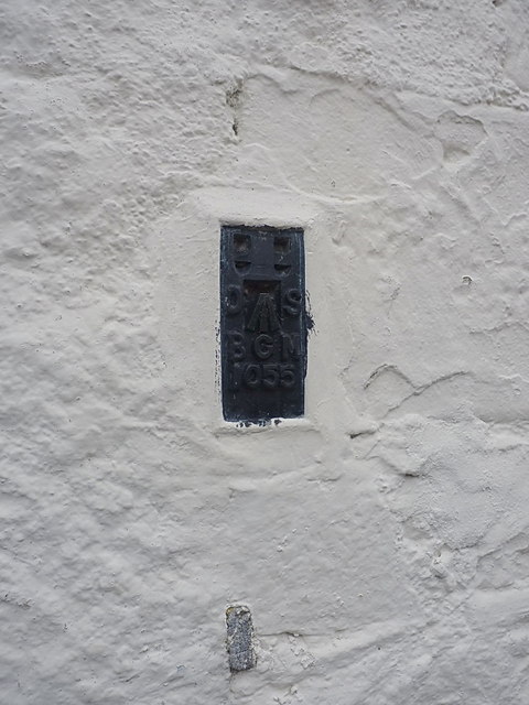
Image: © Richard Law Taken: 11 Apr 2014
Located on the corner of the former Post Office (now a house, rather appropriately called Taigh-A-Phuist), this Flush Bracket was installed during the Second Geodetic Levelling of Scotland in 1945, and levelled at 310' 3" above Ordnance Datum Newlyn.
Images are licensed for reuse under creativecommons.org/licenses/by-sa/2.0
Image Location
Latitude
56.891181
Longitude
-4.841775