Kimla not Simla in Neath
Introduction
The photograph on this page of Kimla not Simla in Neath by Jaggery as part of the Geograph project.
The Geograph project started in 2005 with the aim of publishing, organising and preserving representative images for every square kilometre of Great Britain, Ireland and the Isle of Man.

There are currently over 7.5m images from over 14,400 individuals and you can help contribute to the project by visiting https://www.geograph.org.uk
Kimla not Simla in Neath
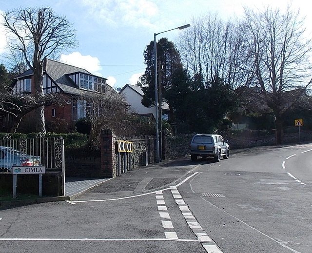
Image: © Jaggery Taken: 16 Feb 2014
On the left, the boundary sign for the district of Cimla is on the corner of the B4287 Cimla Road and Rookwood Close. Ci is usually pronounced si in English, but as Cimla is a Welsh name, it is pronounced Kimla.
Images are licensed for reuse under creativecommons.org/licenses/by-sa/2.0
Image Location
Latitude
51.657581
Longitude
-3.79633