Armagh's Crown Court
Introduction
The photograph on this page of Armagh's Crown Court by Eric Jones as part of the Geograph project.
The Geograph project started in 2005 with the aim of publishing, organising and preserving representative images for every square kilometre of Great Britain, Ireland and the Isle of Man.

There are currently over 7.5m images from over 14,400 individuals and you can help contribute to the project by visiting https://www.geograph.org.uk
Armagh's Crown Court
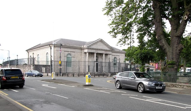
Image: © Eric Jones Taken: 2 Aug 2012
The Courthouse dates from 1809. It was badly damaged by an IRA bomb in 1993. http://en.wikipedia.org/wiki/Armagh_Courthouse
Images are licensed for reuse under creativecommons.org/licenses/by-sa/2.0
Image Location
Latitude
54.350489
Longitude
-6.65263