Mill Mound
Introduction
The photograph on this page of Mill Mound by Glyn Baker as part of the Geograph project.
The Geograph project started in 2005 with the aim of publishing, organising and preserving representative images for every square kilometre of Great Britain, Ireland and the Isle of Man.

There are currently over 7.5m images from over 14,400 individuals and you can help contribute to the project by visiting https://www.geograph.org.uk
Mill Mound
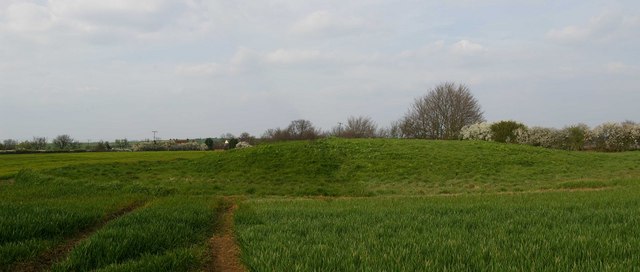
Image: © Glyn Baker Taken: 8 Apr 2007
Mill Mound is on a footpath from the Colchester Rd to Salcott-cum-Virley one must assume a windmill stood here in times past, a piece of industrial archaeology.
Images are licensed for reuse under creativecommons.org/licenses/by-sa/2.0
Image Location
Latitude
51.795993
Longitude
0.824824