Cherryvalley, Belfast
Introduction
The photograph on this page of Cherryvalley, Belfast by Albert Bridge as part of the Geograph project.
The Geograph project started in 2005 with the aim of publishing, organising and preserving representative images for every square kilometre of Great Britain, Ireland and the Isle of Man.

There are currently over 7.5m images from over 14,400 individuals and you can help contribute to the project by visiting https://www.geograph.org.uk
Cherryvalley, Belfast
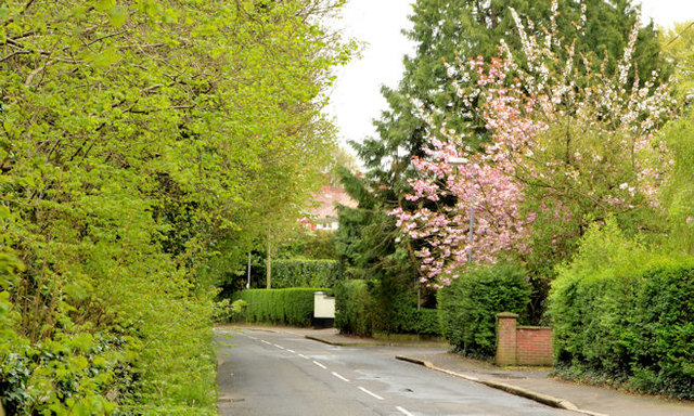
Image: © Albert Bridge Taken: 25 Apr 2014
Cherryvalley runs from the Knock Road (some distance behind me) to the Gilnahirk Road. The 1901 street directory shows that some houses had been built and occupied but others were still under construction.
Images are licensed for reuse under creativecommons.org/licenses/by-sa/2.0
Image Location
Latitude
54.588524
Longitude
-5.853162