Cherryvalley Park, Belfast
Introduction
The photograph on this page of Cherryvalley Park, Belfast by Albert Bridge as part of the Geograph project.
The Geograph project started in 2005 with the aim of publishing, organising and preserving representative images for every square kilometre of Great Britain, Ireland and the Isle of Man.

There are currently over 7.5m images from over 14,400 individuals and you can help contribute to the project by visiting https://www.geograph.org.uk
Cherryvalley Park, Belfast
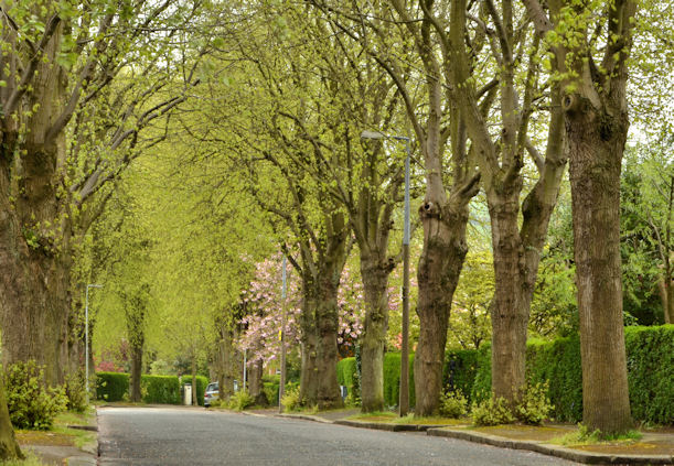
Image: © Albert Bridge Taken: 25 Apr 2014
Cherryvalley Park, a tree-lined street, standard in this part of Belfast, dates from the early 20th century. The 1907 street directory shows it almost fully developed with some houses still under construction at the Cherryvalley end. This view is towards the Kensington Road.
Images are licensed for reuse under creativecommons.org/licenses/by-sa/2.0
Image Location
Latitude
54.587321
Longitude
-5.851214