Spouthouse Lane, Great Barr
Introduction
The photograph on this page of Spouthouse Lane, Great Barr by Bill Payer as part of the Geograph project.
The Geograph project started in 2005 with the aim of publishing, organising and preserving representative images for every square kilometre of Great Britain, Ireland and the Isle of Man.

There are currently over 7.5m images from over 14,400 individuals and you can help contribute to the project by visiting https://www.geograph.org.uk
Spouthouse Lane, Great Barr
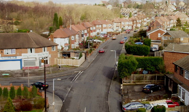
Image: © Bill Payer Taken: Unknown
Viewed from the aqueduct which carries the Tame Valley Canal, looking down on junction with Appleton Avenue. Junction with Farlands Grove is on right (high hedges). Over the back of the houses on the left, a wooded area and nature park.
Images are licensed for reuse under creativecommons.org/licenses/by-sa/2.0
Image Location


Leaflet Map data © OpenStreetMap
Latitude
52.537902
Longitude
-1.934496