King James VI golf course
Introduction
The photograph on this page of King James VI golf course by John Brailsford as part of the Geograph project.
The Geograph project started in 2005 with the aim of publishing, organising and preserving representative images for every square kilometre of Great Britain, Ireland and the Isle of Man.

There are currently over 7.5m images from over 14,400 individuals and you can help contribute to the project by visiting https://www.geograph.org.uk
King James VI golf course
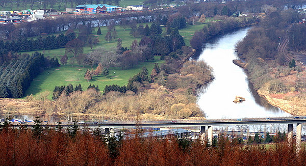
Image: © John Brailsford Taken: 20 Feb 2007
King James VI golf course on island, with River Tay on each side overlooking motorway, taken from Moncreiffe Hill.
Images are licensed for reuse under creativecommons.org/licenses/by-sa/2.0
Image Location
Latitude
56.379424
Longitude
-3.42173