Manchester from the air
Introduction
The photograph on this page of Manchester from the air by Thomas Nugent as part of the Geograph project.
The Geograph project started in 2005 with the aim of publishing, organising and preserving representative images for every square kilometre of Great Britain, Ireland and the Isle of Man.

There are currently over 7.5m images from over 14,400 individuals and you can help contribute to the project by visiting https://www.geograph.org.uk
Manchester from the air
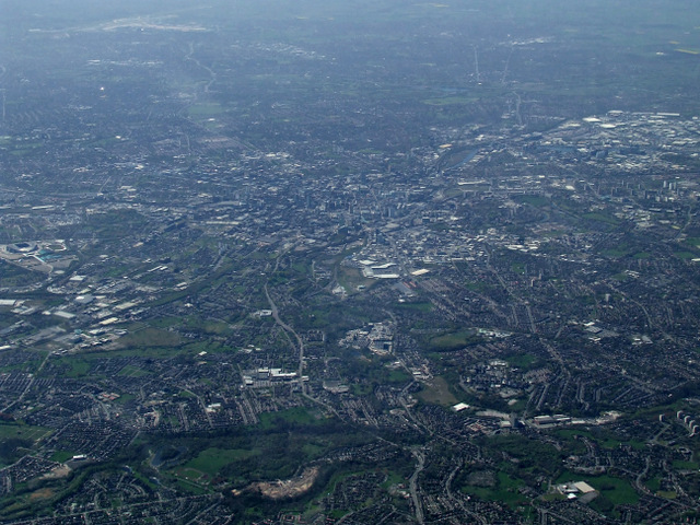
Image: © Thomas Nugent Taken: 18 Apr 2014
The site of the former Booth Hall Children's Hospital can be seen at the bottom of the photo. The A664 Rochdale Road can be seen running towards the city centre. Viewed from a Manchester bound flight from Prague.
Images are licensed for reuse under creativecommons.org/licenses/by-sa/2.0
Image Location
Latitude
53.518996
Longitude
-2.205075