Grid across the road at the northern edge of Trefil
Introduction
The photograph on this page of Grid across the road at the northern edge of Trefil by Jaggery as part of the Geograph project.
The Geograph project started in 2005 with the aim of publishing, organising and preserving representative images for every square kilometre of Great Britain, Ireland and the Isle of Man.

There are currently over 7.5m images from over 14,400 individuals and you can help contribute to the project by visiting https://www.geograph.org.uk
Grid across the road at the northern edge of Trefil
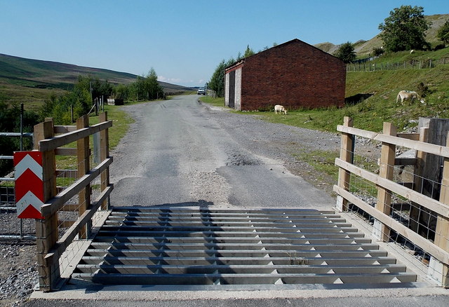
Image: © Jaggery Taken: 22 Aug 2013
For much of its course ahead, the road is on or near the east bank of a stream, Nant Trefil, a tributary of the River Sirhowy. This is a private road and bridleway. A nearby notice states that anyone using an unauthorised vehicle on the private road (or adjacent land) is liable to have the vehicle confiscated by the police. A bridleway means that walkers, horse riders or anyone leading a horse can use this road. I don't know whether or not it is legal for cyclists to ride here.
Images are licensed for reuse under creativecommons.org/licenses/by-sa/2.0
Image Location
Latitude
51.809475
Longitude
-3.279574