Corrugated farm building and a former chapel in Trefil
Introduction
The photograph on this page of Corrugated farm building and a former chapel in Trefil by Jaggery as part of the Geograph project.
The Geograph project started in 2005 with the aim of publishing, organising and preserving representative images for every square kilometre of Great Britain, Ireland and the Isle of Man.

There are currently over 7.5m images from over 14,400 individuals and you can help contribute to the project by visiting https://www.geograph.org.uk
Corrugated farm building and a former chapel in Trefil
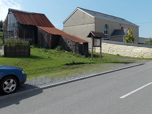
Image: © Jaggery Taken: 22 Aug 2013
Viewed across Trefil Road. On the right, the former Horeb Independent Chapel is now in residential use.
Images are licensed for reuse under creativecommons.org/licenses/by-sa/2.0
Image Location
Latitude
51.805811
Longitude
-3.27744