Manchester Ship Canal from the air
Introduction
The photograph on this page of Manchester Ship Canal from the air by Thomas Nugent as part of the Geograph project.
The Geograph project started in 2005 with the aim of publishing, organising and preserving representative images for every square kilometre of Great Britain, Ireland and the Isle of Man.

There are currently over 7.5m images from over 14,400 individuals and you can help contribute to the project by visiting https://www.geograph.org.uk
Manchester Ship Canal from the air
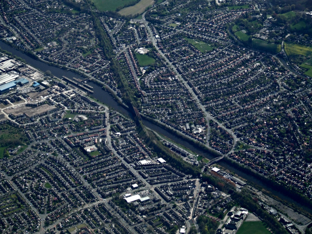
Image: © Thomas Nugent Taken: 18 Apr 2014
The disused Latchford railway viaduct Image and Latchford Locks Image are visible, as is the Knutsford Road swing bridge Image Viewed from a flight from Prague to Manchester.
Images are licensed for reuse under creativecommons.org/licenses/by-sa/2.0
Image Location
Latitude
53.383006
Longitude
-2.565233