Rosshall Park
Introduction
The photograph on this page of Rosshall Park by Lairich Rig as part of the Geograph project.
The Geograph project started in 2005 with the aim of publishing, organising and preserving representative images for every square kilometre of Great Britain, Ireland and the Isle of Man.

There are currently over 7.5m images from over 14,400 individuals and you can help contribute to the project by visiting https://www.geograph.org.uk
Rosshall Park
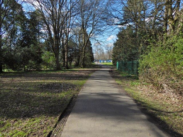
Image: © Lairich Rig Taken: 24 Mar 2014
Not far ahead is a footpath junction. From there, the path straight ahead leads to the park entrance from Crookston Road, while to the left is the river walk (Image), and to the right is a path to Rosshall Gardens. See http://www.geograph.org.uk/tagged/Rosshall+Park#photo=3947699 for other views of the park and gardens.
Images are licensed for reuse under creativecommons.org/licenses/by-sa/2.0
Image Location
Latitude
55.837913
Longitude
-4.364408