Lamb Close, Spinney Hill estate, Warwick
Introduction
The photograph on this page of Lamb Close, Spinney Hill estate, Warwick by Robin Stott as part of the Geograph project.
The Geograph project started in 2005 with the aim of publishing, organising and preserving representative images for every square kilometre of Great Britain, Ireland and the Isle of Man.

There are currently over 7.5m images from over 14,400 individuals and you can help contribute to the project by visiting https://www.geograph.org.uk
Lamb Close, Spinney Hill estate, Warwick
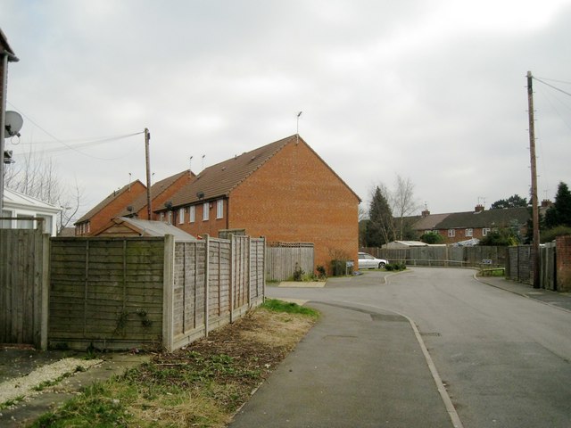
Image: © Robin Stott Taken: 19 Mar 2013
A recent housing development shoehorned in at the back of Greville Road, to which the rear access is seen going off to the left. In the background, right, is the rear of Chesford Crescent.
Images are licensed for reuse under creativecommons.org/licenses/by-sa/2.0
Image Location
Latitude
52.29242
Longitude
-1.567577