Howford Bridge
Introduction
The photograph on this page of Howford Bridge by Lairich Rig as part of the Geograph project.
The Geograph project started in 2005 with the aim of publishing, organising and preserving representative images for every square kilometre of Great Britain, Ireland and the Isle of Man.

There are currently over 7.5m images from over 14,400 individuals and you can help contribute to the project by visiting https://www.geograph.org.uk
Howford Bridge
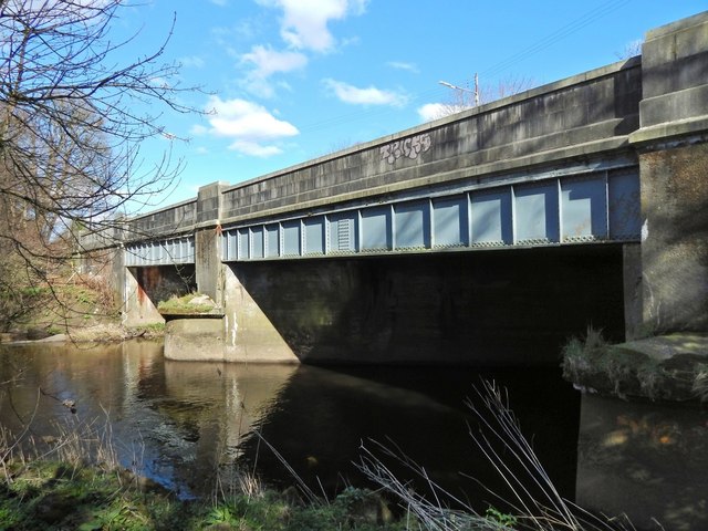
Image: © Lairich Rig Taken: 24 Mar 2014
The bridge carries Crookston Road over the White Cart Water. At or near this spot, John Ainslie's 1796 map — https://maps.nls.uk/view/74400319 (at NLS) — of Renfrewshire shows "Howford Bridge", a predecessor of the one shown in my picture.
Images are licensed for reuse under creativecommons.org/licenses/by-sa/2.0
Image Location
Latitude
55.837882
Longitude
-4.366003