Railway at Lower Ley level crossing
Introduction
The photograph on this page of Railway at Lower Ley level crossing by John Winder as part of the Geograph project.
The Geograph project started in 2005 with the aim of publishing, organising and preserving representative images for every square kilometre of Great Britain, Ireland and the Isle of Man.

There are currently over 7.5m images from over 14,400 individuals and you can help contribute to the project by visiting https://www.geograph.org.uk
Railway at Lower Ley level crossing
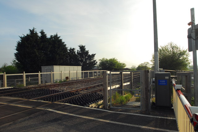
Image: © John Winder Taken: 24 Apr 2014
I was planning to snatch a sneaky photo over the side of my car as I drove over the crossing, but in a fit of sensibleness I didn't. This one, taken from behind the barriers, will have to do instead.
Images are licensed for reuse under creativecommons.org/licenses/by-sa/2.0
Image Location
Latitude
51.850021
Longitude
-2.370153