South Along Top Drift
Introduction
The photograph on this page of South Along Top Drift by Keith Evans as part of the Geograph project.
The Geograph project started in 2005 with the aim of publishing, organising and preserving representative images for every square kilometre of Great Britain, Ireland and the Isle of Man.

There are currently over 7.5m images from over 14,400 individuals and you can help contribute to the project by visiting https://www.geograph.org.uk
South Along Top Drift
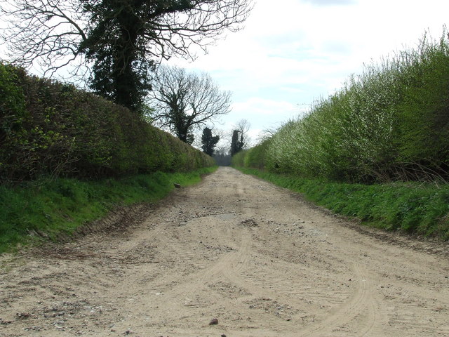
Image: © Keith Evans Taken: 9 Apr 2007
Looking south along the track that's marked on the 1:25:000 O.S. map as Top Drirft just east of East Wretham Norfolk.
Images are licensed for reuse under creativecommons.org/licenses/by-sa/2.0
Image Location


Leaflet Map data © OpenStreetMap
Latitude
52.469425
Longitude
0.850101