East Devon : Lower Burrowton
Introduction
The photograph on this page of East Devon : Lower Burrowton by Lewis Clarke as part of the Geograph project.
The Geograph project started in 2005 with the aim of publishing, organising and preserving representative images for every square kilometre of Great Britain, Ireland and the Isle of Man.

There are currently over 7.5m images from over 14,400 individuals and you can help contribute to the project by visiting https://www.geograph.org.uk
East Devon : Lower Burrowton
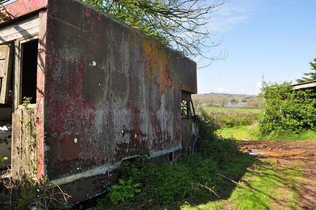
Image: © Lewis Clarke Taken: 21 Apr 2014
A track heading through Lower Burrowton and an old van.
Images are licensed for reuse under creativecommons.org/licenses/by-sa/2.0
Image Location
Latitude
50.763297
Longitude
-3.413314