Path, Kincorth...
Introduction
The photograph on this page of Path, Kincorth... by Bill Harrison as part of the Geograph project.
The Geograph project started in 2005 with the aim of publishing, organising and preserving representative images for every square kilometre of Great Britain, Ireland and the Isle of Man.

There are currently over 7.5m images from over 14,400 individuals and you can help contribute to the project by visiting https://www.geograph.org.uk
Path, Kincorth...
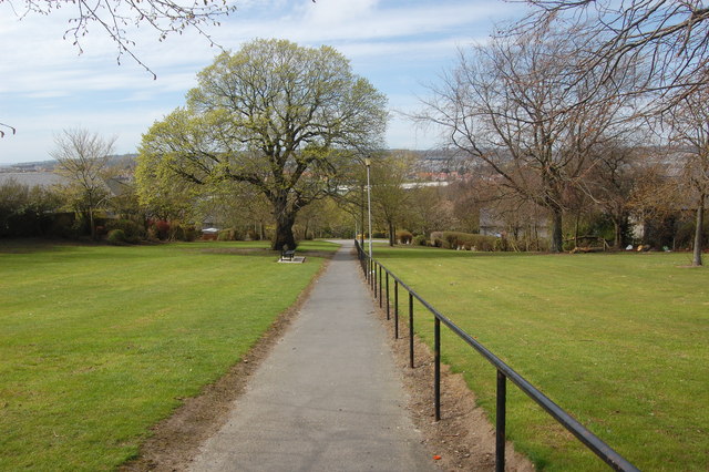
Image: © Bill Harrison Taken: 19 Apr 2014
...connecting Kincorth Circle and Faulds Gate. The name Faulds Gate is said to derive from the Covenanters' Faulds, in memory of the Covenanting army who camped on Kincorth hill before the Battle of Bridge of Dee on 19th June 1639.
Images are licensed for reuse under creativecommons.org/licenses/by-sa/2.0
Image Location
Latitude
57.121663
Longitude
-2.114101