Essen Way, Sunderland
Introduction
The photograph on this page of Essen Way, Sunderland by Malc McDonald as part of the Geograph project.
The Geograph project started in 2005 with the aim of publishing, organising and preserving representative images for every square kilometre of Great Britain, Ireland and the Isle of Man.

There are currently over 7.5m images from over 14,400 individuals and you can help contribute to the project by visiting https://www.geograph.org.uk
Essen Way, Sunderland
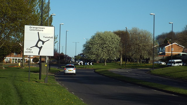
Image: © Malc McDonald Taken: 19 Apr 2014
Essen Way is a section of a dual-carriageway which passes through Sunderland's southern suburbs. It is named after the city of Essen in Germany. Sunderland is twinned with Essen. More information about the twinning of Sunderland with Essen can be found on Snderland City Council's website: http://www.sunderland.gov.uk/index.aspx?articleid=2804
Images are licensed for reuse under creativecommons.org/licenses/by-sa/2.0
Image Location
Latitude
54.887787
Longitude
-1.394654