Kingswood Lane, Markington
Introduction
The photograph on this page of Kingswood Lane, Markington by Derek Harper as part of the Geograph project.
The Geograph project started in 2005 with the aim of publishing, organising and preserving representative images for every square kilometre of Great Britain, Ireland and the Isle of Man.

There are currently over 7.5m images from over 14,400 individuals and you can help contribute to the project by visiting https://www.geograph.org.uk
Kingswood Lane, Markington
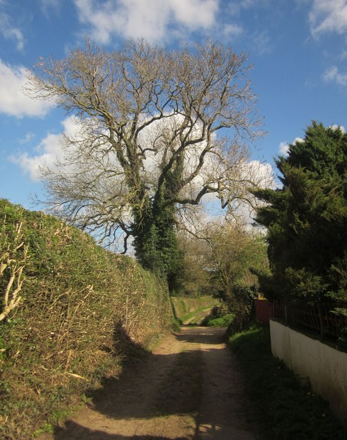
Image: © Derek Harper Taken: 19 Apr 2014
The Ripon Rowel Walk setting off from the village along bridleway 15 86/12/2. The ivy-clad tree looks like an ash.
Images are licensed for reuse under creativecommons.org/licenses/by-sa/2.0
Image Location
Latitude
54.078412
Longitude
-1.561009