Footpath from Friars Park to Poynters Lane
Introduction
The photograph on this page of Footpath from Friars Park to Poynters Lane by David Kemp as part of the Geograph project.
The Geograph project started in 2005 with the aim of publishing, organising and preserving representative images for every square kilometre of Great Britain, Ireland and the Isle of Man.

There are currently over 7.5m images from over 14,400 individuals and you can help contribute to the project by visiting https://www.geograph.org.uk
Footpath from Friars Park to Poynters Lane
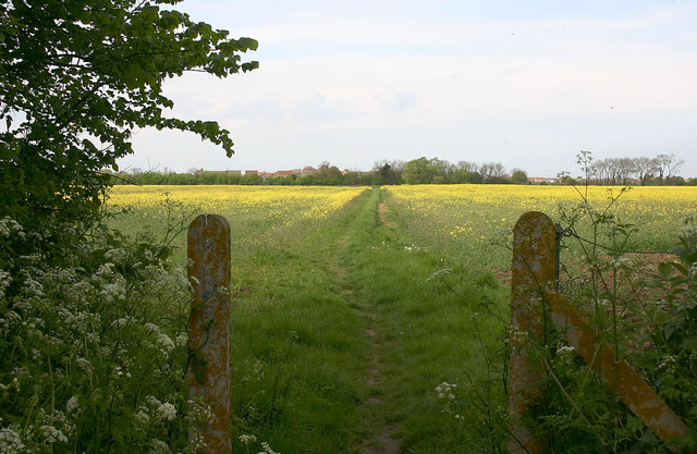
Image: © David Kemp Taken: 23 Apr 2014
The two posts seem to mark the boundary between the Southend and Rochford local authorities which runs from left to right. Until 2007 there were brickworks in this area but those in the vicinity of this particular point closed in 1976.
Images are licensed for reuse under creativecommons.org/licenses/by-sa/2.0
Image Location
Latitude
51.541977
Longitude
0.796221