Derelict Grain Store and Mast.
Introduction
The photograph on this page of Derelict Grain Store and Mast. by Richard Williams as part of the Geograph project.
The Geograph project started in 2005 with the aim of publishing, organising and preserving representative images for every square kilometre of Great Britain, Ireland and the Isle of Man.

There are currently over 7.5m images from over 14,400 individuals and you can help contribute to the project by visiting https://www.geograph.org.uk
Derelict Grain Store and Mast.
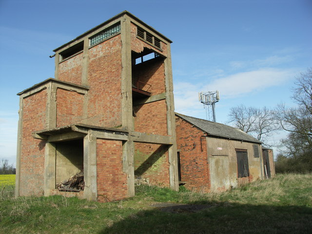
Image: © Richard Williams Taken: 9 Apr 2007
There is evidence of silo foundations and grain processing equipment in the ruined building.
Images are licensed for reuse under creativecommons.org/licenses/by-sa/2.0
Image Location
Latitude
52.467602
Longitude
-1.08672