Boarded up building
Introduction
The photograph on this page of Boarded up building by John Baker as part of the Geograph project.
The Geograph project started in 2005 with the aim of publishing, organising and preserving representative images for every square kilometre of Great Britain, Ireland and the Isle of Man.

There are currently over 7.5m images from over 14,400 individuals and you can help contribute to the project by visiting https://www.geograph.org.uk
Boarded up building
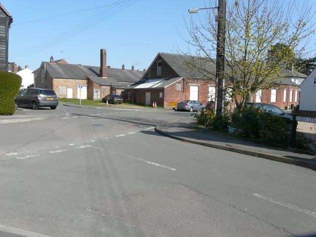
Image: © John Baker Taken: 29 Mar 2014
Seen from Queen Street, the nearer side of the building lies in Vane Lane while its frontage is in Church Street.
Images are licensed for reuse under creativecommons.org/licenses/by-sa/2.0
Image Location
Latitude
51.873537
Longitude
0.689767