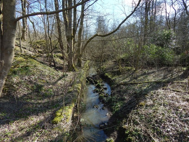
The Blacksey Burn
Introduction
The photograph on this page of The Blacksey Burn by Lairich Rig as part of the Geograph project.
The Geograph project started in 2005 with the aim of publishing, organising and preserving representative images for every square kilometre of Great Britain, Ireland and the Isle of Man.
There are currently over 7.5m images from over 14,400 individuals and you can help contribute to the project by visiting https://www.geograph.org.uk

Image: © Lairich Rig Taken: 24 Mar 2014
The burn is flowing towards the photographer's position. The picture was taken from the little footbridge shown in Image On the map, the boundary that corresponds to the line of the burn is marked "Burgh Const., P Const., PER & UA Bdy". The present picture shows the artificial channel through which the burn flows, explaining its unnaturally straight course, as depicted on the OS map. From the bridge, the burn flows only a few metres before joining the White Cart Water, as shown in the following picture, a view in the opposite direction from the same point: Image

