Durham Road, Sunderland
Introduction
The photograph on this page of Durham Road, Sunderland by Malc McDonald as part of the Geograph project.
The Geograph project started in 2005 with the aim of publishing, organising and preserving representative images for every square kilometre of Great Britain, Ireland and the Isle of Man.

There are currently over 7.5m images from over 14,400 individuals and you can help contribute to the project by visiting https://www.geograph.org.uk
Durham Road, Sunderland
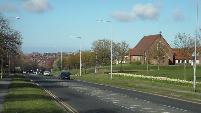
Image: © Malc McDonald Taken: 19 Apr 2014
Durham Road is one of the main roads into and out of Sunderland. It is part of the A690 linking Sunderland, Durham and Crook.
Images are licensed for reuse under creativecommons.org/licenses/by-sa/2.0
Image Location
Latitude
54.878262
Longitude
-1.432046