The Remains of a Mill Lade?
Introduction
The photograph on this page of The Remains of a Mill Lade? by Mary and Angus Hogg as part of the Geograph project.
The Geograph project started in 2005 with the aim of publishing, organising and preserving representative images for every square kilometre of Great Britain, Ireland and the Isle of Man.

There are currently over 7.5m images from over 14,400 individuals and you can help contribute to the project by visiting https://www.geograph.org.uk
The Remains of a Mill Lade?
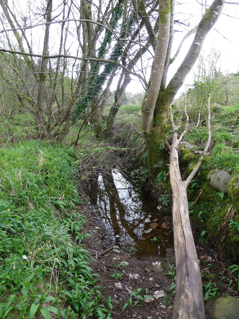
Image: © Mary and Angus Hogg Taken: 14 Apr 2014
Intrigued by the reference to a Waulk Mill near Kirkmichael Image which gave its name to a bridge over the Water of Girvan Image, I searched a site shown as a mill on a 1902 OS map. There's no evidence of a building but I found what looks like an old lade on the south side of the river, near Arnsow Farm. Although now much silted-up, this channel would have been capable of powering a water-mill. Aitkenhead Mill lies on the opposite bank at the same fast-flowing section of the river, from which its lade was created.
Images are licensed for reuse under creativecommons.org/licenses/by-sa/2.0
Image Location
Latitude
55.338944
Longitude
-4.605048