Woodland path, Stour Estuary Nature Trail
Introduction
The photograph on this page of Woodland path, Stour Estuary Nature Trail by Roger Jones as part of the Geograph project.
The Geograph project started in 2005 with the aim of publishing, organising and preserving representative images for every square kilometre of Great Britain, Ireland and the Isle of Man.

There are currently over 7.5m images from over 14,400 individuals and you can help contribute to the project by visiting https://www.geograph.org.uk
Woodland path, Stour Estuary Nature Trail
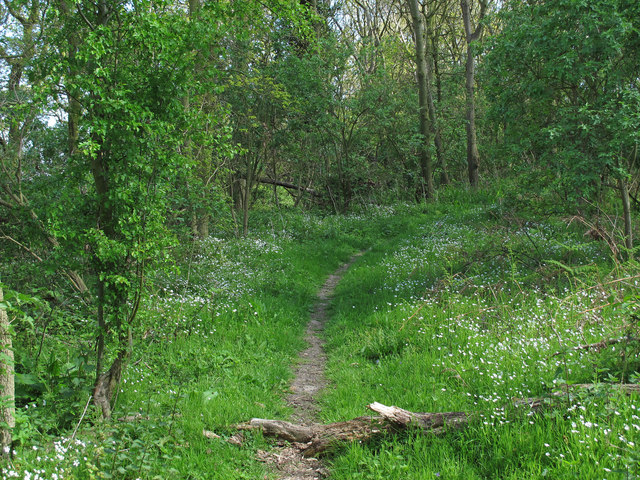
Image: © Roger Jones Taken: 19 Apr 2014
Path in woodland alongside Copperas Bay which links RSPB hides.
Images are licensed for reuse under creativecommons.org/licenses/by-sa/2.0
Image Location
Latitude
51.938862
Longitude
1.221729