
Climbing High House Bank
Introduction
The photograph on this page of Climbing High House Bank by Karl and Ali as part of the Geograph project.
The Geograph project started in 2005 with the aim of publishing, organising and preserving representative images for every square kilometre of Great Britain, Ireland and the Isle of Man.

There are currently over 7.5m images from over 14,400 individuals and you can help contribute to the project by visiting https://www.geograph.org.uk
Climbing High House Bank
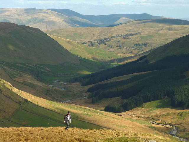
Image: © Karl and Ali Taken: 19 Apr 2014
A walker ascends the upper slopes with lower Borrowdale (below Huck's Bridge) beyond. The dale curves away towards the hidden M6 above which rise the Howgill Fells. Everything in the middle distance may soon be incorporated into an eastward extension of the Lake District National Park (the Friends of the Lake District already own part of the lower dale). The visible Howgills are already protected within the Yorkshire Dales.
Images are licensed for reuse under creativecommons.org/licenses/by-sa/2.0
Image Location

Latitude
54.435484
Longitude
-2.703583