Boundary House Farm
Introduction
The photograph on this page of Boundary House Farm by Robert Graham as part of the Geograph project.
The Geograph project started in 2005 with the aim of publishing, organising and preserving representative images for every square kilometre of Great Britain, Ireland and the Isle of Man.

There are currently over 7.5m images from over 14,400 individuals and you can help contribute to the project by visiting https://www.geograph.org.uk
Boundary House Farm
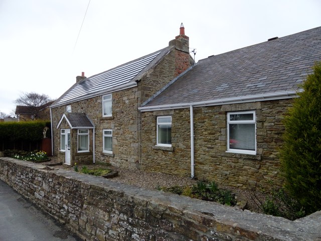
Image: © Robert Graham Taken: 9 Apr 2014
This house is on North Road, Dipton. The name comes the fact that this point was the boundary between two medieval commons; Lanchester and Tanfield. Although the farmhouse has been much modified, it probably dates back to the 19th century. It was still a working farm in the 1960's but is no longer.
Images are licensed for reuse under creativecommons.org/licenses/by-sa/2.0
Image Location
Latitude
54.882739
Longitude
-1.746683