Private car park, Upper Grove Street, and rear of flats in Warwick Terrace, Leamington
Introduction
The photograph on this page of Private car park, Upper Grove Street, and rear of flats in Warwick Terrace, Leamington by Robin Stott as part of the Geograph project.
The Geograph project started in 2005 with the aim of publishing, organising and preserving representative images for every square kilometre of Great Britain, Ireland and the Isle of Man.

There are currently over 7.5m images from over 14,400 individuals and you can help contribute to the project by visiting https://www.geograph.org.uk
Private car park, Upper Grove Street, and rear of flats in Warwick Terrace, Leamington
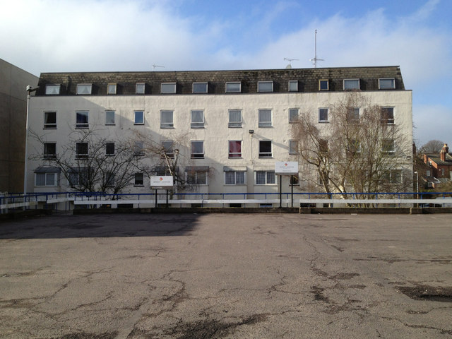
Image: © Robin Stott Taken: 17 Feb 2013
Late 19th century maps show a large block, Somerset Mews, where this car park is. The 1923 OS map shows a Film Printing Works. A local woman remembers her mother saying that before she married in 1935 she was employed at a developing and printing works here. The signs at the back of the car park say 'Market Location', presumed to be a commercial property agent. On the left is a glimpse of the back of a building that houses KwikFit with offices above. A report of 1944 mentions an office block on the site. In the late 19th century it was the site of a residential property, Westrock House. Its garden and a neighbouring one, shown in 1887, are the site of the flats that front Warwick Terrace. In form they approximate to the early 19th-century terrace at the north end of the street. See also http://geograph.org.uk/p/3944224
Images are licensed for reuse under creativecommons.org/licenses/by-sa/2.0
Image Location
Latitude
52.292323
Longitude
-1.541773