Footpath formerly a country road, Rogerstone, Newport
Introduction
The photograph on this page of Footpath formerly a country road, Rogerstone, Newport by Jaggery as part of the Geograph project.
The Geograph project started in 2005 with the aim of publishing, organising and preserving representative images for every square kilometre of Great Britain, Ireland and the Isle of Man.

There are currently over 7.5m images from over 14,400 individuals and you can help contribute to the project by visiting https://www.geograph.org.uk
Footpath formerly a country road, Rogerstone, Newport
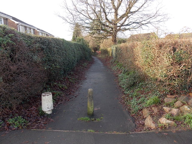
Image: © Jaggery Taken: 23 Jan 2014
In 2014, vehicular access along Groes Road ends a couple of metres behind the camera at this http://www.geograph.org.uk/photo/3943930 junction. Old maps show that Groes Road used to extend to the B4591 Cefn Road along the route ahead, now blocked off to make it a footpath.
Images are licensed for reuse under creativecommons.org/licenses/by-sa/2.0
Image Location
Latitude
51.596028
Longitude
-3.051665