Wrea Lane
Introduction
The photograph on this page of Wrea Lane by Christopher Hall as part of the Geograph project.
The Geograph project started in 2005 with the aim of publishing, organising and preserving representative images for every square kilometre of Great Britain, Ireland and the Isle of Man.

There are currently over 7.5m images from over 14,400 individuals and you can help contribute to the project by visiting https://www.geograph.org.uk
Wrea Lane
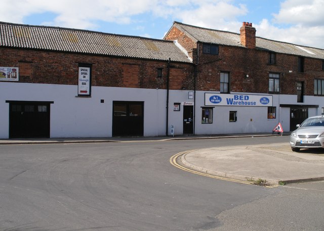
Image: © Christopher Hall Taken: 10 Apr 2014
This is Wrea Lane from the junction with Lower Durham Street. These 19th century industrial buildings survived the clearance of the William Street/Hope Street and lower Durham Street area referred to in Image although much altered and still have an active use.
Images are licensed for reuse under creativecommons.org/licenses/by-sa/2.0
Image Location
Latitude
54.285632
Longitude
-0.405631